

I’ve lived in Phoenix, Arizona, for over a decade now, and throughout the past years have traveled into and out of town countless times by car, train, and plane.
As it’s a sprawling metropolis, visitors and locals alike primarily rely on cars to get around. The city’s layout is a grid system, which helps make it relatively easy to navigate, in my opinion.
Here are my local tips for getting to and around Phoenix, from the closest airport to the most convenient ways to explore the town and wider metro area.
Getting into town by plane, train, and car

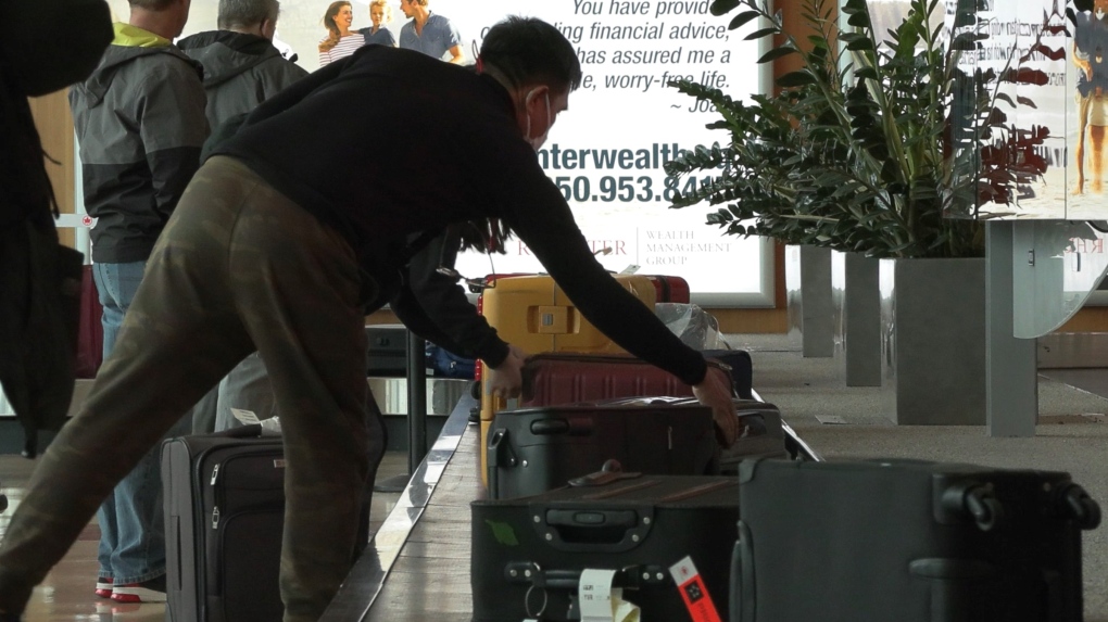
Phoenix Sky Harbor International Airport
Phoenix Sky Harbor International Airport (PHX) is the primary airport in the city and the most popular way for visitors to get into and out of town when traveling from a distance.
It’s a hub for American Airlines and a base for Southwest Airlines, and many other major airlines fly in and out of the airport, including regional airlines like United, Alaska, and Frontier, as well as international airlines like British, Condor, and Volaris.
PHX has two operating terminals with shopping, convenience stores, and several outposts of local restaurants including SanTan Brewing, Chelsea’s Kitchen, and Matt’s Big Breakfast. And although it’s ranked the 11th busiest airport in the world and the 9th busiest for US traffic, PHX in my experience is easy to navigate because the terminals are compact and walkable.
Driving
Phoenix is well-connected to the rest of the country via phoenix-autoroutes.pdf” data-ylk=”slk:highways” class=”link “highways, and driving into town can be convenient for visitors from neighboring states.
For


0